麻花天美星空免费观看电视剧_星空在线观看免费高清_星空无限MV国产剧入选精彩免费_天美麻花星空高清MV_麻花无限传媒有限公司_麻花影视在线观看电视剧的优点_天美麻花星空高清免费观看完整版影视_麻花天美星空传媒电视剧官网_麻花传剧MV无痕在线看完整版视频_天美影视影业传媒有限公司

geological survey
Traditional antennas typically support only a single satellite system (such as GPS) and cannot fully utilize the resources of multiple systems like GLONASS, BDS, and Galileo. In complex environments (such as urban canyons and mountainous areas), the insufficient number of visible satellites in a single system can easily lead to positioning interruptions or degraded accuracy, failing to meet the demands of high-precision measurement. Traditional antennas have limited capability to suppress adjacent-frequency interference (such as LTE and Wi-Fi signals). Particularly in scenarios with complex electromagnetic environments, the deterioration in signal quality can result in fluctuations or loss of positioning data, thereby reducing operational efficiency.

Features
Multi-band and multi-constellation support
c2.png
High-precision phase center stability
Anti-multipath Effect Design
1711254190284756.png
High-gain and wide-beam pattern
Low-noise amplification and signal filtering
c14.png
Environmental Adaptability Design
c3.png
Compact and lightweight structure
X7.png
Supports high-precision centimeter-level positioning
Solution
The Huayuen Corporation external high-precision surveying antenna is a GNSS full-frequency external surveying antenna that covers GPS, GLONASS, BDS, and Galileo systems. It meets the current demands for multi-system compatibility and high-precision measurement in GNSS surveying equipment, making it widely applicable in fields such as geodetic surveying and earthquake monitoring.
企業(yè)微信截圖_20260312174728.png
Cases
測(cè)量測(cè)繪行業(yè)應(yīng)用2.png
Geodetic surveying
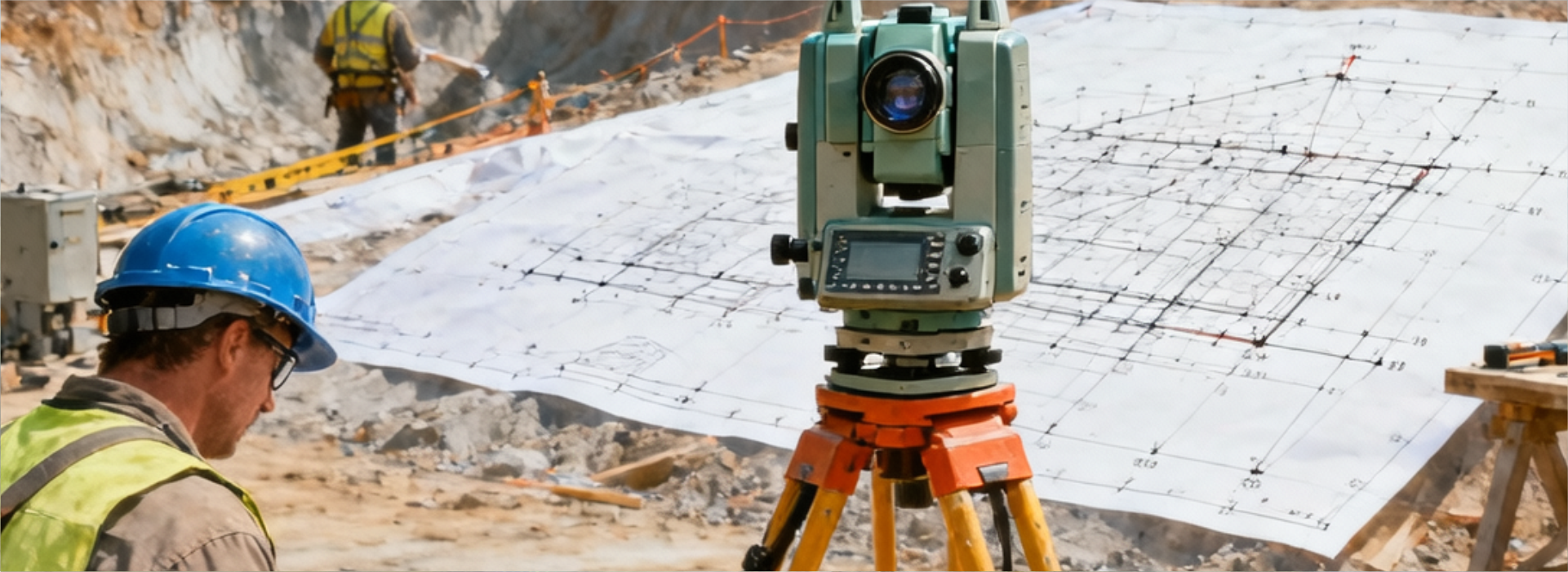
The external high-precision surveying antenna from Huayuen Corporation significantly enhances the number of visible satellites in complex terrains by supporting full-frequency signal reception across GPS, GLONASS, BDS, and Galileo systems. Particularly in obstructed environments such as urban canyons and mountainous areas, the multi-system combined positioning reduces the risk of signal interruption, ensuring continuous and stable operations for geodetic surveying tasks requiring millimeter-level precision, such as topographic mapping and engineering staking-out.
測(cè)量測(cè)繪行業(yè)應(yīng)用1920.700.png
Earthquake monitoring
Earthquake monitoring requires capturing minute surface deformations (on the millimeter scale), imposing extremely high demands on the stability and long-term reliability of the antenna's phase center. Huayun Shikong's antenna controls phase center errors within ±2mm through advanced technology and employs high-rigidity materials along with a sealed design. This ensures negligible phase center displacement under extreme conditions such as vibration and temperature variations, thereby guaranteeing the long-term consistency of deformation monitoring data.
測(cè)量測(cè)繪頭圖.png
Other surveying and mapping
Its compact structure and magnetic mounting method are compatible with portable devices such as drones and handheld RTK systems. Combined with intelligent low-power technology, it extends field endurance, meeting the dual demands of efficiency and precision in large-scale topographic surveying.
Online Message
Name
Phone
Company
Business requirements
Send